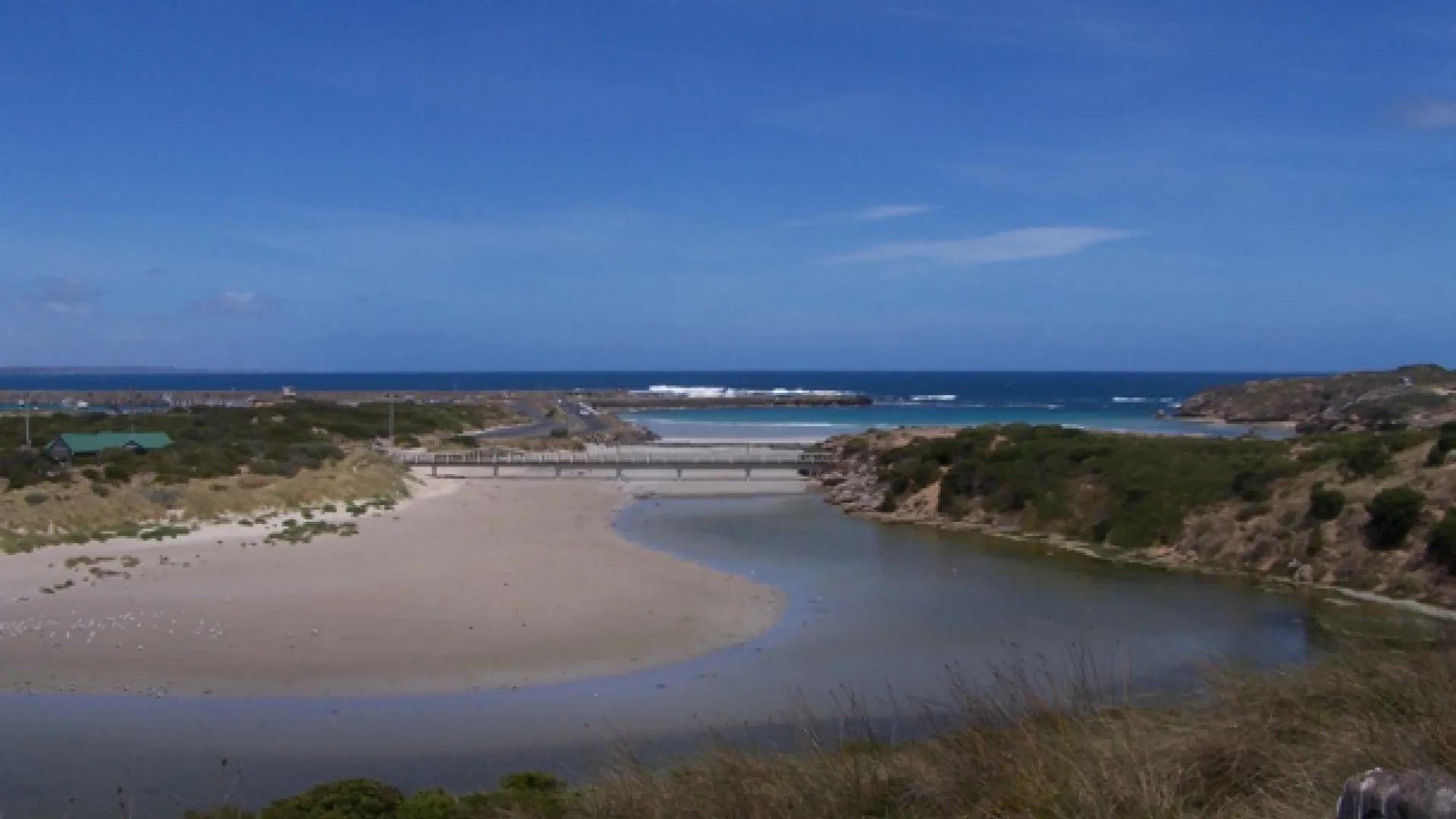
The Merri River is the confluence of Spring Creek and Drysdale Creek, with their tributaries starting as far north as Penshurst 70km from Warrnambool. The Merri River enters the Southern Ocean in two places, at Stingray Bay (Merri Marine Sanctuary) and at Ruttledge’s Cutting to the west.
The Merri River flows into several significant wetlands including Kelly and Saltwater Swamps and South Warrnambool Saltmarsh.
These wetlands are home to endemic and migratory birds including Neophema chrysogaster Orang-bellied Parrot, Gallinago hardwickii Latham’s Snipe, Botaurus poiciloptilus Australasian Bittern and Anseranus semipalmata Magpie Geese.
Lake Pertobe flows into a section of the Merri River known as an estuary. The estuary is influenced by tides, river flow and the condition of the river mouth. When the waters of the Merri River are high, the one way valve is closed and water can’t drain out of Lake Pertobe. During times of high rain fall, this can cause minor flooding at Lake Pertobe. The occurrence of this flooding will increase as the impacts of climate change increase. These impacts include increased sea-levels, storm surges and high rainfall events.
Council has worked with several stakeholders on an integrated water management plan that provides options for minimising the impacts of climate change on Lake Pertobe.
Links (further information)
https://www.ghcma.vic.gov.au/our-region/marine-coast/merri-river-estuary/
https://www.swclimatechange.com.au/
Partnership Organisation
Glenelg Hopkins Catchment Management Authority